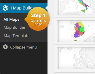
This is an interactive map of Norway:
In this example the tooltips contain the name of the provinces. They become visible when the user hovers over a given region. It is also possible to make tooltips visible when the user clicks on a given region. The content of a tooltip can be replaced by any text or HTML. Especially, HTML tooltips allow to customize the styling of tooltips.
The map of Norway can be split into the following regions:
- Akershus
- Aust-Agder
- Buskerud
- Finnmark
- Hedmark
- Hordaland
- Møre og Romsdal
- Nordland
- Nord-Trøndelag
- Oppland
- Oslo
- Rogaland
- Sogn og Fjordane
- Sør-Trøndelag
- Telemark
- Troms
- Vest-Agder
- Vestfold
- Østfold
The map configuration can be found here:
Map settings
| Name | Value | Description |
|---|---|---|
| Region | Norway | List with all available regions |
| Width | auto | Width of the map in pixel. 'Auto' means that the map is centered in the available width. |
| Height | auto | Height of the map in pixel. 'Auto' means that the map is centered in the available height. |
| Display mode | Regions | Specifies the display mode of the map. |
| Border resolution | Provinces | The resolution of the map borders. |
| Tooltips | On | Allows to display a tooltip for highlighted map elements. |
| Tooltips: Trigger | focus | The user interaction that causes the tooltip to be displayed. |
| Tooltips: Use HTML | On | Specifies if the tooltips should use HTML. This allows to customize the tooltips even more. For example, if this property is on, it is possible to display images wihtin the tooltip. |
Map template
| CSS | #{cssid} {
} |
|
| HTML | <div id="{cssid}">
%%map%%
</div> |
|
|
JavaScript Executed when a marker/region is clicked. Click value can be defined for each map element. |
||
Map elements (19)
| Color | Name | Click Value |
|---|---|---|
| NO-01 | ||
| NO-18 | ||
| NO-19 | ||
| NO-20 | ||
| NO-07 | ||
| NO-08 | ||
| NO-09 | ||
| NO-10 | ||
| NO-06 | ||
| NO-05 | ||
| NO-04 | ||
| NO-02 | ||
| NO-11 | ||
| NO-12 | ||
| NO-14 | ||
| NO-15 | ||
| NO-16 | ||
| NO-17 | ||
| NO-03 |
Comments
If you need help or have questions, please leave a comment.